Summary
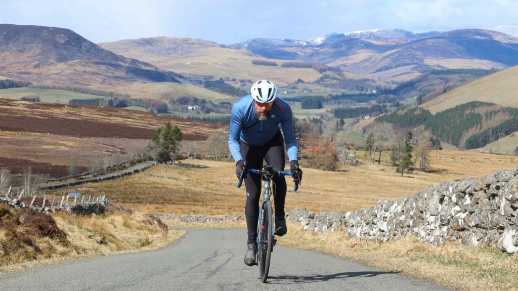
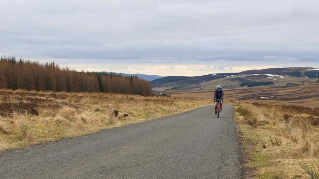
Although a few kilometres short of the official Gran Fondo distance of 120km, this challenging loop takes riders deep into the Ecomuseum and offers views and quiet roads nothing short of magnificent, with lovely coffee stops and a sprint finish through the Vale of Strathmore.
Scottish Outdoor Access Code: Know the code before you go
Please use the arrows on left/right side to go to previous/next route.
You can download our booklet, From Deep Time To Our Time, Cycling Across The Cateran Ecomuseum here.
Route stats
Suitable for: Road bikes
Total Distance: 109 km
Total Ascent: 1,050 m
Terrain: A mixture of quiet roads,
Access: Fully accessible (no gates, steps or barriers)
Route Category: Challenging
Riding Time: 6 - 7 hrs
Start/Finish: Alyth Market Square
OS Grid Ref: NO 24612 48519
Nearest Parking: At the start
Key Facilities on Route: Alyth (accommodation, bike shop, shops, restaurants, cafes), Bridge of Cally (accommodation, shop, restaurant), Kirkmichael (accommodation, shops, restaurants, cafes), Kirkton of Glenisla (hotel and food, detour), Peel (farm shop, cafe, accommodation), Bridgend of Lintrathen (cafe), Meigle (shop, hotel, cafe), Ardler (pub)
OS Landranger Map: 43/53/54 (or custom Cateran Ecomuseum map)
For information on local accommodation & services click here
Please click on images to open slideshow.
Photographs: Markus Stitz
Route description
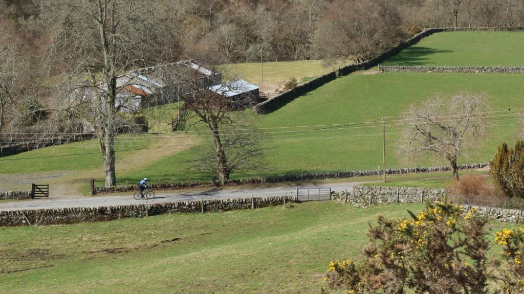
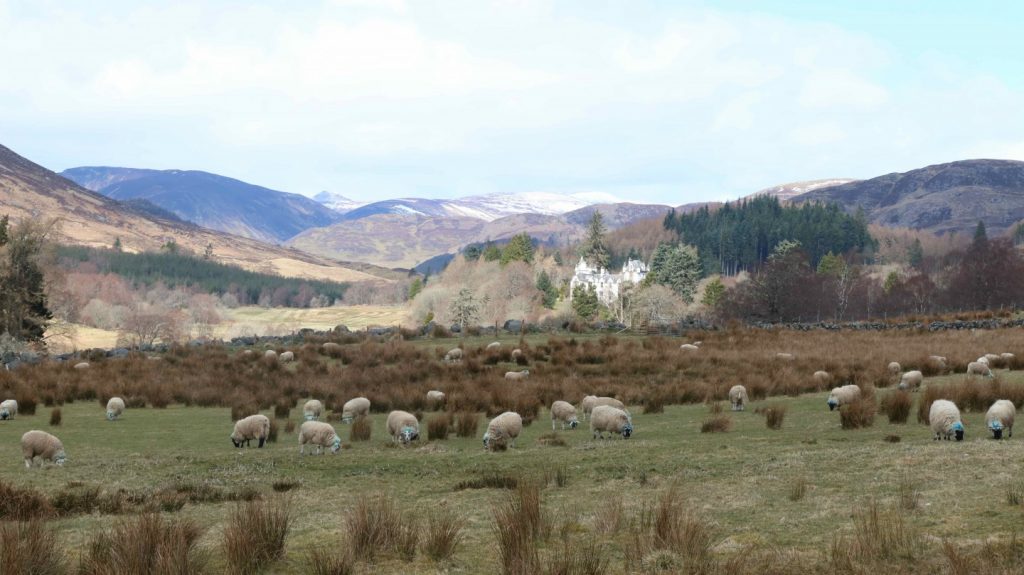
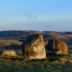
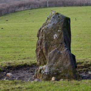
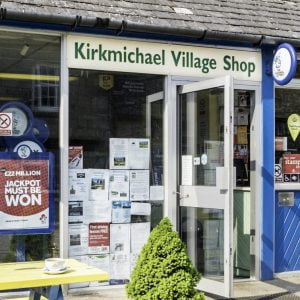
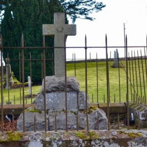
Leaving Alyth on Bamff Road the route passes the Den ‘O’ Alyth and Bamff Wildlands, before climbing steadily to the evocative Park Neuk stone circle, which is only a very short walk from the road (please note, the field is gated and cattle are present some times of the year). The descent into Netherton is followed by a short but sharp climb to Bridge of Cally, a good first stop on the banks of the confluence of the River Ericht and the River Ardle, with a refreshment stop at the Bridge of Cally Hotel. The river is followed upstream on the A924, passing Ballintuim, Blackcraig Castle (private) and the impressive Balnabroich standing stone. At the junction of the A924/B950 a highly ornate Celtic monument remembers pillar of the local community, James Small, on the side of the road. Kirkmichael is only a few hundred meters away and offers a cafe/shop, as well as accommodation.
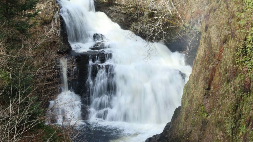
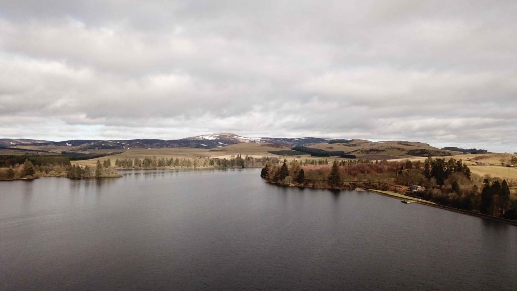
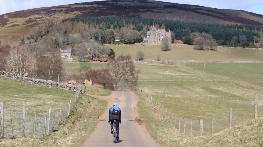
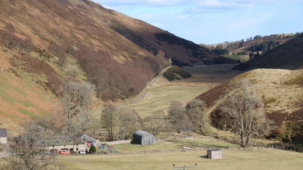
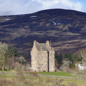
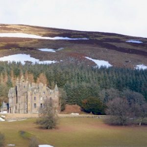
The quieter B950 leads over a ridge and into the next valley, joining the A93 for a short section at Dalrulzion, before a small road follows the Blackwater from Drumfork to Blacklunans and on to Cray. It is possible to cut the route short here and save about 7km by taking the hilly road from Blacklunans to Brewlands. The route passes the church at Cray and climbs a bit further, before a long descent into Glenisla follows. Passing Forter Castle the route takes the quieter road on the eastern side of the river through Folda, before crossing the Isla again at Brewlands. From here a big climb follows, but the views north from the top are breathtaking. This quiet road continues over a few cattle grids before descending to Kilry and on to Bridge of Craigisla. Parking the bike and taking a short walk to Reekie Linn is highly recommended, before Peel Farm or Bridgend of Linthrathen both offer great cafes. The route continues around the wildlife reserve Loch of Lintrathen and climbs towards Balintore Castle, which can be seen from a good distance. After the castle the route continues for a while on the upper reaches of the valley, before descending steeply towards Auldallan and a beautiful valley alongside the Quharity Burn. After another climb Kirkton of Kingoldrum is reached, from where the route descends into the Vale of Strathmore.
The route travels westbound on mostly flat roads through extensive farmland, with Meigle and Ardler providing great opportunities to stop. Shortly after crossing the River Isla a final climb leads back to the start in Alyth.
Find out more about some of the key Points of Interest below.
If you enjoyed this route, why not try the following?
Points to visit
Along the way you will find these points of interest:

Den ‘o’ Alyth
A woodland walk along part of the Highland Boundary Fault. The Den (‘narrow valley’ or ‘gorge’) o’ Alyth is a wooded glen through which the Alyth Burn runs. Part of the geography of the Highland Boundary Fault, it lies on the outskirts of...
Read more - "Den ‘o’ Alyth"
The Royal Forest of Alyth
A 12th century Royal Hunting Reserve. As you travel from the Bamff Estate towards Bridge of Cally and Blairgowrie, either as a walker along the Cateran Trail or by cycling or driving the single track road, you will pass through undulating...
Read more - "The Royal Forest of Alyth"
Park Neuk Stone Circle
A hidden treasure from pre-history. This small Four Poster stone circle, so called because of the prominent upright stones that feature in each corner of a rectangle, is beautifully set on the north-eastern shoulder of a low hill. One of the stones...
Read more - "Park Neuk Stone Circle"
Bridge of Cally
The leading entrance to the Highland Glens. Bridge of Cally is small village just north of Blairgowrie through which the Cateran Trail runs. The village sits at the junction of the glens Glenshee and Strathardle where they combine to form a third,...
Read more - "Bridge of Cally"
The Balnabroich Stone
A Neolithic of Bronze Age Monolith. Also known as Stylemouth, this single standing stone, some 2m in height and of Neolithic or Bronze Age date can more often than not be seen with cattle using it as a rubbing post! A scheduled monument, it may...
Read more - "The Balnabroich Stone"
Ballintuim Church
An important community Church. Dedicated in 1899, St Michael and All Angels’ Episcopal Church is a simple but picturesque building designed by the Rev William Sugden. On the roof sits an iron clad flèche containing a fine bell, the maker...
Read more - "Ballintuim Church"
Kirkmichael Village
The ancient heart of Strathardle Glen. Located in Strathardle, 13 miles north-west of Blairgowrie, Kirkmichael village dates back over 1,000 years and was once an important market in the cattle trade between the Highlands and Lowlands, with various...
Read more - "Kirkmichael Village"
The Minister’s Well
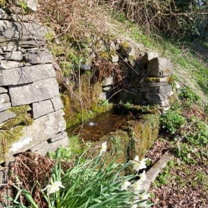
An ancient well. The old roadside water well opposite the church is fed by an underground spring which never runs dry. The ice cold water has an excellent clean sharp taste and is completely drinkable.
Read more - "The Minister’s Well"
Kirkmichael Kirk
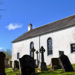
A forgotten corner linked to the Black Death. There is a corner of Kirkmichael Parish churchyard where, despite the lack of space, there are no marked graves. This is because in 1350 AD, a terrible plague, the Galor Mor, better known as the Black...
Read more - "Kirkmichael Kirk"
Duff Memorial Church
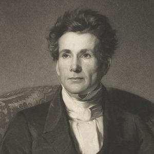
A memorial to Scotland’s first missionary to India. Born in the parish of Moulin in 1806, Alexander Duff was first educated in what is now the Kirkmichael Session House. He boarded with the brilliant teacher Mr Macdougall, returning home to...
Read more - "Duff Memorial Church"
The Bannerfield
An important site in the 1715 Jacobite Rising. A large area of open ground on the west bank of the River Ardle, just south of the Kirkmichael village, is known as the Bannerfield. It was here in September 1715 that John Erskine, 6th Earl of Mar...
Read more - "The Bannerfield"
James Small Monument
Memorial to a prominent local man. James Small was an important 19th century Scottish Laird from Kirkmichael. As well as the local estate of Dirnanean, Mr Small owned as much as 20,000 acres of land in the surrounding area and played a prominent...
Read more - "James Small Monument"
Pitcarmick House
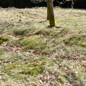
Remains of a Pictish home. Careful scrutiny of the very tussocky ground on this site still reveals the outline of a Pictish Longhouse called a Pitcarmick House. Archaeologists surveying North East Perthshire in the 1980’s identified a series of...
Read more - "Pitcarmick House"
Mount Blair
One of the Ecomuseum’s most prominent landmarks with superb summit views. Mount Blair’ sweeping, symmetrical cone, 744 metres high, is located between Glenshee and Glen Isla. On a clear day you have a 360 degree view encompassing...
Read more - "Mount Blair"
Forter Castle
A fine example of a late medieval Tower House. Forter Castle was built by the Ogilvys of Airlie as a fortified house in 1560. Such ‘Tower Houses’ as they are known, were intended primarily as dwellings, but constructed so that they could be made...
Read more - "Forter Castle"
The Glad Stane (Also known as the Gled Stane)
Thrown by a Giant? Away back in the dim and distant ages of mythology a giant named Colly Camb was reputed to have resided among the rocks on the south side of Mount Blair, where his place of abode, or “Hole,” still bears his name. Some...
Read more - "The Glad Stane (Also known as the Gled Stane)"
Brewlands Bridge
Built by Public Subscription in 1836. Brewlands Bridge (or Claypots Bridge) was built by public subscription in 1836. The subscriptions give a fascinating insight into the relative considered worth of the land and occupants in Glenisla at that...
Read more - "Brewlands Bridge"
Lintrathen Wildlife Reserve
A tranquil sanctuary for wild birds. The beautiful inland Loch of Lintrathen has supplied the city of Dundee with water since 1875. Water is fed down from the Backwater Reservoir 4km to the north, leaving the Loch through sluices at Bridgend of...
Read more - "Lintrathen Wildlife Reserve"
Balintore Castle
A Victorian Shooting Lodge. Balintore Castle was commissioned by David Lyon MP (1794-1872) as a shooting lodge for the elite of Victorian society. Built in the late mid to late 1800’s, it was designed by architect William Burns, who’s other work...
Read more - "Balintore Castle"
Kingoldrum Kirkyard
An historic 12thc Churchyard. The medieval church of Kingoldrum (no longer in ecclesiastical use) first comes on record in 1178 and in 1211-4 it was given to Arbroath Abbey by William The Lion. It was dedicated to St Medan (about whom little is...
Read more - "Kingoldrum Kirkyard"
Balfour Castle and Balfour Mains Farmhouse
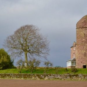
A fragment of a Medieval Castle incorporated into a 19thc farmhouse. Balfour Mains Farmhouse and Castle has particular interest as a very rare example of a 19th century farmhouse built onto the side of a 16th-century tower. This highly unusual...
Read more - "Balfour Castle and Balfour Mains Farmhouse"
Loch of Kinnordy Nature Reserve
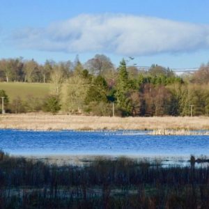
A beautiful bird watching site. This nature reserve, run by the RSPB, is open daily from dawn to dusk. Its shallow loch is situated in a natural basin surrounded by farmland and attracts all types of wildlife. One favourite summer visitor is the...
Read more - "Loch of Kinnordy Nature Reserve"
Cardean Roman Fort
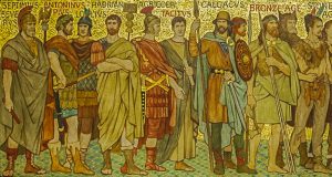
Site of one of the largest Roman Forts in Britain. This Roman fort is at Cardean, on the border between Angus and Perthshire very close to Meigle. It seems to have had a single period of occupation during the Flavian period (AD69-96) and was...
Read more - "Cardean Roman Fort"
Dean Bridge
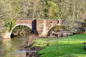
A wonderfully preserved 16thc or 17thc bridge. This bridge, visible from the current road bridge, lies precisely on the Roman Road crossing of the Dean Water, adjacent to the Roman fort of Cardean. Nine feet wide, the bridge comprises of two...
Read more - "Dean Bridge"
Vanora’s Mound
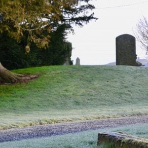
The final resting place of King Arthur’s Queen? This burial mound could well be prehistoric in date but almost certainly represents the earliest phase of Pictish burial on this site, either as a new cairn or as a re-used prehistoric one.It...
Read more - "Vanora’s Mound"
Meigle Sculptured Stone Museum
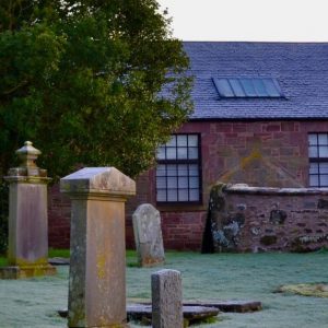
One of the most important collections of early medieval sculpture in Western Europe. Displayed in the old schoolhouse at Meigle, this magnificent collection of carved stones dates from the late 700s to the late 900s. The stones were all found in...
Read more - "Meigle Sculptured Stone Museum"
The Caterans
The story behind the word Cateran. ‘Cateran’ derives from the Gaelic word ceatharn meaning ‘warrior’, but usually one that is lightly armed. The term was originally given to a band of fighting men of a Scottish Highland clan but in the...
Read more - "The Caterans"
