Summary
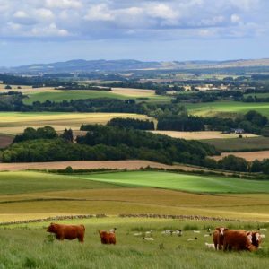
This tour takes you back through 5,000 years of human history across one of Scotland's most beautiful and fertile valleys - Strathmore. Along mostly quiet backroads with breathtaking views to the Grampians and Cairngorms you will visit ancient human settlements, prehistoric standing stones and the site of an unusual looted treasure.
Scottish Outdoor Access Code: Know the code before you go
Please use the arrows on left/right side to go to previous/next route
You can download our booklet, From Deep Time To Our Time, Cycling Across The Cateran Ecomuseum here.
Route stats
Suitable for: Road bikes
Total Distance: 45.1 km
Total Ascent: 290 m
Terrain: A mixture of quiet and some busier roads, all on tarmac
Access: Fully accessible with no gates
Route Category: Straightforward
Riding Time: 3 - 5 hrs
Start/Finish: Meigle Town Centre
OS Grid Ref: NO 28697 44657
Nearest Parking: On-street parking at the start
Key Facilities on Route: Meigle (shop, hotel, cafe), Alyth (accommodation, bike shop, shops, restaurants, cafes), Ardler (pub)
OS Landranger Map: 53 (or custom Cateran Ecomuseum map)
For information on local accommodation & services click here
Please click on images to open slideshow.
Photographs: Markus Stitz/Clare Cooper
Please click on images to open slideshow.
Photographs: Markus Stitz/Clare Cooper
Route description
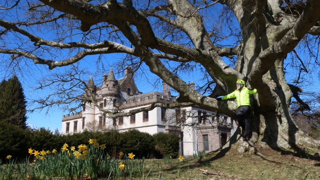
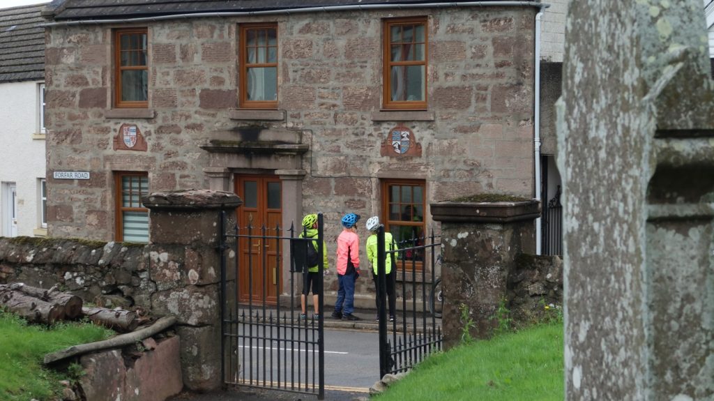
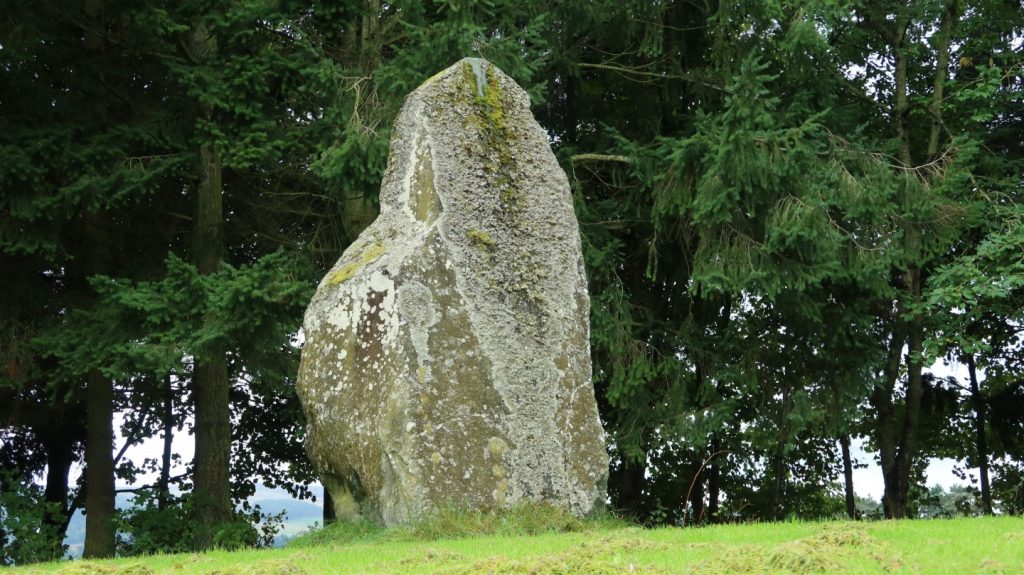
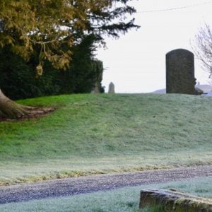
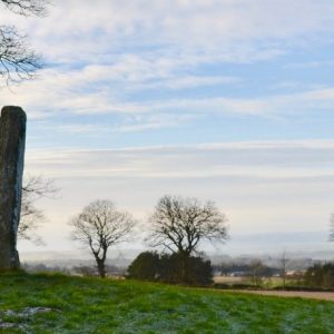
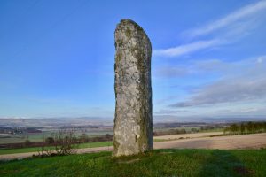
The route starts and finishes in Meigle and follows Forfar Road first to pass Temple Hall on the left. Whilst there is no proof that this temple existed, the land the house is built on did belong to the Knights Templar, a Catholic military order of Knights, founded in 1119. Just opposite from the building in the church yard is Vanora’s Mound, regarded as being the tomb of King Arthur’s Queen, Guinevere, known locally as Vanora or Wanda. The route leaves Forfar Road and takes a short connecting road to Dundee Road, where the route passes the Meigle Sculptured Stone Museum, one of the most important collections of early medieval sculpture in Western Europe. Displayed in the Old Schoolhouse at Meigle, this magnificent collection of carved stones dates from the late 700s to the late 900s. Continuing on Dundee Road, which can get busy at times, the route soon passes Belliduff, located to the right. This Bronze Age cairn and cist is the first site on this tour to have a story that connects it with the Scottish king Macbeth. Shortly after Belliduff the route leaves the B954 and crosses the grounds of Belmont Estate, which hosts Belmont Castle and extensive woodlands, which are great for a short detour by foot (or on a mountain/gravel bike). Belmont Castle is one of the finest houses in Strathmore, but currently not open to the public. It is the former home of Sir Henry Campbell-Bannerman, the British statesman and liberal prime minister of Britain between 1905 and 1908. Just before the route leaves Belmont Estate through a gate, Macbeth’s Stone, the largest standing stone in the Cateran Ecomuseum, can be seen on the left. This giant of a stone measures about 12 ft high and stands on a large, low mound. Probably late Neolithic or early Bronze age, it is linked to the Scottish king Macbeth.
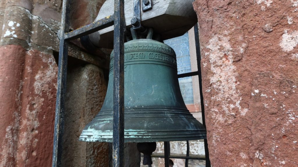
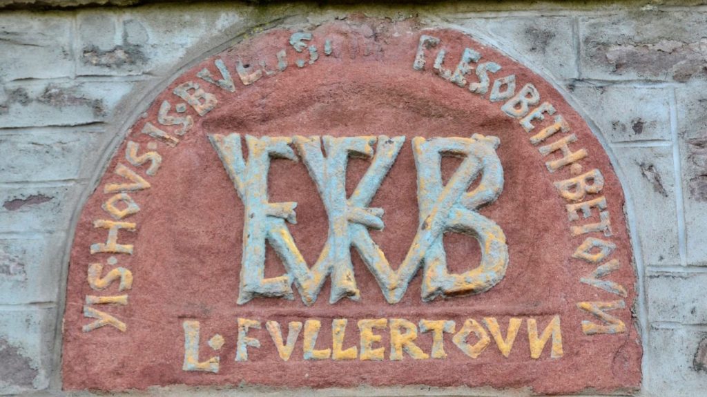
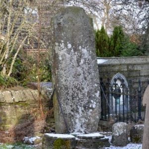
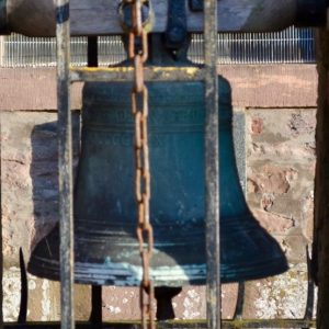
From here the route turns left and follows a quiet road. At the next crossroads the route takes another left turn, and then turns right after crossing the Cammo Burn to Newbigging, climbing steadily towards its highest point, the Baldowrie Symbol Stone. On one of the the most striking locations, this fine example of a class 1 Pictish symbol stone lies on the southern edge of the Cateran Ecomuseum and commands magnificent views across the Valley of Strathmore to the Cairngorms in the distance. From here the route descends gradually into the small village of Kettins, home to the Kettins Cross Slab, one of the largest examples of an 8th or 9th century Pictish symbol bearing a cross slab. Kettin’s Bell, originally cast in 1519, can be found on the grounds of Kettins Kirk as well. Shortly after Kettins the route takes a right turn onto a quiet road to Ardler, where a pub is a welcome stop.
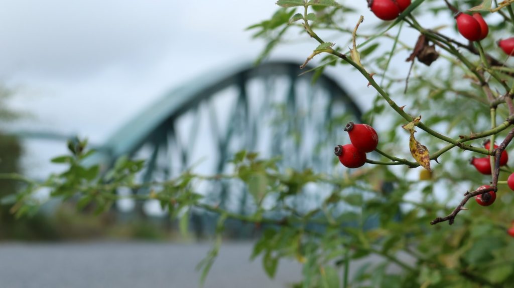
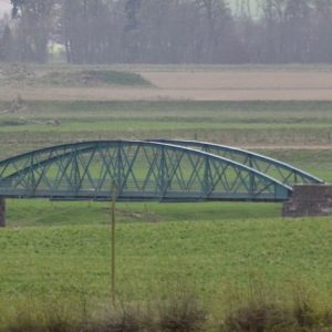
The route first continues on the same road past Ardler, and then on a side road which meets the A94, a busy main road connecting Meigle and Coupar Angus. Care is needed when cycling here. A short there-and-back-trip takes you to Kinloch House and Kinloch Mausoleum, designed and built by the radical politician George Kinloch of Kinloch for himself in 1798. Neither mausoleum nor house are open to the public and can only be seen from the main road. Following the A94 for a short while, the route then joins a quieter road on the right, signposted to Alyth. The River Isla is crossed by Bardmony Bridge, which was crowd funded through a local bazar and built through the efforts of enterprising and community minded local farmers at the turn of the 20th century. The route continues on the Strathmore Cycle Network to Alyth, a great stop with eateries and shops.
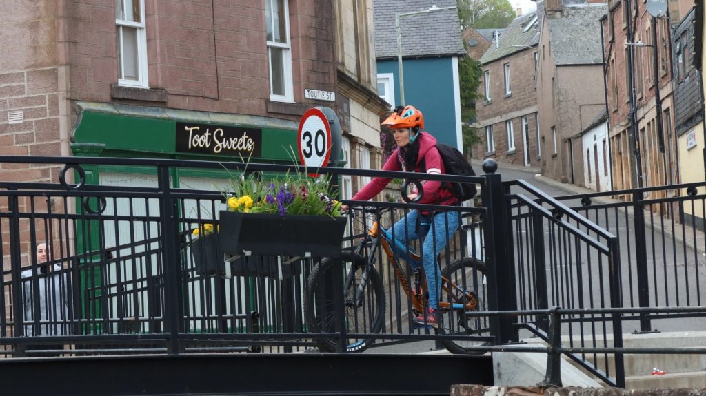
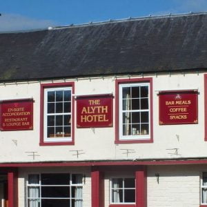
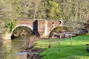
James Sandy, inventor of the invisible hinge, was born in Alyth in about 1766 and lived in what is now the Alyth Hotel. Passing the hotel on the right side of the Alyth Burn, the route continues on Toutie Street, which immortalises the bygone custom of the herdsman tooting his horn, alerting the townsfolk to bring out their beasts to be herded up Alyth Hill. A quick loop through Alyth takes you along Chapel Street. To the right is the Pack Bridge. Intended to carry pack horses loaded with side bags or panniers across the burn, it is one of the oldest masonry bridges in Scotland and shown on maps as far back as 1600. The route follows Losset Road out of Alyth and then joins the B952 to Balloch, from where it continues on a quiet road towards Airlie, passing the Shanzie Souterrain. Souterrain is the archaeological name for a type of underground structure associated mainly with the European Atlantic Iron Age that may have been used for storage. Excavations unearthed a structure 35 metres long and roughly c-shaped, and whilst the souterrain itself has been sealed, remains of the mound can be seen from the road. After a bridge the route takes a right and heads south, before taking another right turn to continue parallel to the River Isla (on the right) and alongside the remains of an old Roman road (on the left).
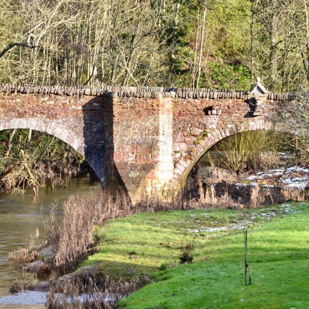
While Cardean Roman Fort is now a cultivated field, some traces of the rampart and outer defensive ditch can still be seen as a low, broad mound. It seems to have had a single period of occupation during the Flavian period and was probably abandoned shortly after AD 86. Dean Bridge, a wonderfully preserved 16th or 17th century bridge, is visible from the current road bridge, and lies precisely on the Roman road crossing of the Dean Water. From here the finish in Meigle is only a few pedal strokes away.
Find out more about some of the key Points of Interest below.
If you enjoyed this route, why not try the following?
Points to visit
Along the way you will find these points of interest:

Temple Hall, Meigle
A private house said to stand on the site of a Temple built by the Knights Templar. Whilst there is no proof that this temple existed, the land the house is built on did belong to the Knights Templar, a Catholic military order of Knights, founded in...
Read more - "Temple Hall, Meigle"
Vanora’s Mound
The final resting place of King Arthur’s Queen? This burial mound could well be prehistoric in date but almost certainly represents the earliest phase of Pictish burial on this site, either as a new cairn or as a re-used prehistoric one.It...
Read more - "Vanora’s Mound"
Meigle Sculptured Stone Museum
One of the most important collections of early medieval sculpture in Western Europe. Displayed in the old schoolhouse at Meigle, this magnificent collection of carved stones dates from the late 700s to the late 900s. The stones were all found in...
Read more - "Meigle Sculptured Stone Museum"
Belliduff
A Bronze Age Cairn & Cist. This Bronze Age Cairn and Cist is the second site in Meigle to have a story that connects it with the Scottish King, Macbeth (see Macbeth’s Stone entry, which is nearby). Although recorded history tells us that...
Read more - "Belliduff"
Belmont Castle
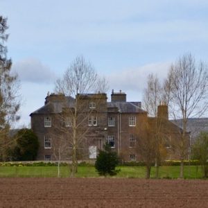
One of the finest houses in Strathmore. Belmont Castle is a substantial 18th century mansion which was modernised in the late 19th century, and incorporates the remains of a tower house called ‘Kirkhill of Meigle’, which belonged at one...
Read more - "Belmont Castle"
Macbeth’s Stone
The largest Standing Stone in the Ecomuseum. This giant of a stone measures about 12 ft high and stands on a large, low mound. Probably late Neolithic or early Bronze age ( (c 3,000 – c 2,100 BC), it is linked to the Scottish King Macbeth...
Read more - "Macbeth’s Stone"
Baldowrie Symbol Stone
One of the most striking locations of any Pictish symbol stone in Scotland, also known as the Keillor Stone. Aligned ENE-WSW and standing just under two metres in height on a tumulous that is probably Bronze Age, this fine example of a Class 1...
Read more - "Baldowrie Symbol Stone"
Kettins Cross Slab
One of the largest examples of an 8th or 9thc Pictish Symbol bearing Cross Slab. The small village of Kettins lies just across from the southern edge of the Ecomuseum. This cross-slab stands beside the northern boundary wall of Kettins church-yard,...
Read more - "Kettins Cross Slab"
The Kettin’s Bell
This Bell, originally cast in 1519, is said to have been looted from a Belgian Monastery. The small village of Kettins lies just across from the southern edge of the Ecomuseum. The inscription on the bell, which reads “My name is Marie Troon and...
Read more - "The Kettin’s Bell"
Kettins Kirk
Consecrated to St Brigid in 1249. The small village of Kettins lies just across from the southern edge of the Ecomuseum. Its Kirk stands on the site of a pre-Christian Druidic mound and it is probable that in the 6th & 7th centuries, a Celtic...
Read more - "Kettins Kirk"
Ardler
Originally planned as a Railway Village. This small village was the brainchild of local landowner George Kinloch, who was elected as a Liberal MP for Dundee following the Scottish Reform Act of 1832. Kinloch, who was Chairman of the Dundee and...
Read more - "Ardler"
Kinloch House & Mausoleum
Home of a 19thc slave owner and Dundee politician. This five-bay two-storey house, commanding panoramic views to north and south, was designed and built by the radical politician George Kinloch of Kinloch for himself in 1798. The basement contained...
Read more - "Kinloch House & Mausoleum"
Bardmony Bridge
Crowd funded through a local bazaar. This important crossing of the River Isla was built through the efforts of enterprising and community minded local farmers at the turn of the 20thc. Half the money was put up by 3 local farmers and the other half...
Read more - "Bardmony Bridge"
James Sandy
Inventor of the Invisible Hinge. James Sandy was born in Alyth in about 1766 and lived in what is now the Alyth Hotel. Crippled in both legs as a result of two separate accidents, he nevertheless went on to become known as ‘the Alyth Genius’ for...
Read more - "James Sandy"
Toutie Street
A permanent reminder of a bygone custom. This street name immortalises the bygone custom of the herdsman tooting his horn, alerting the townsfolk to bring out their beasts to be herded up Alyth Hill. The deeds of over 200 properties in the old town...
Read more - "Toutie Street"
Pack Bridge
One of the oldest masonry bridges in Scotland. Alyth’s Pack Bridge (intended to carry packhorses loaded with sidebags or panniers across the burn) is one of the oldest masonry bridges in Scotland and is shown on maps as far back as 1600. Reputedly...
Read more - "Pack Bridge"
The Shanzie Souterrain
An Iron Age underground structure. Souterrain (from the French ‘sous terrain’, meaning ‘underground’) is the archaeological name for a type of underground structure associated mainly with the European Atlantic Iron Age that may have been...
Read more - "The Shanzie Souterrain"
Cardean Roman Fort
Site of one of the largest Roman Forts in Britain. This Roman fort is at Cardean, on the border between Angus and Perthshire very close to Meigle. It seems to have had a single period of occupation during the Flavian period (AD69-96) and was...
Read more - "Cardean Roman Fort"
Dean Bridge
A wonderfully preserved 16thc or 17thc bridge. This bridge, visible from the current road bridge, lies precisely on the Roman Road crossing of the Dean Water, adjacent to the Roman fort of Cardean. Nine feet wide, the bridge comprises of two...
Read more - "Dean Bridge"
