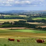
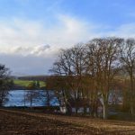
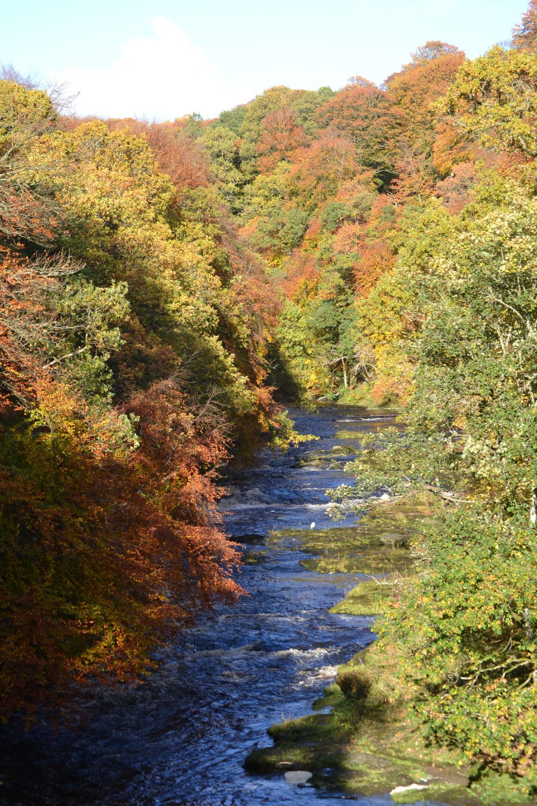
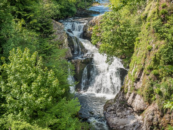
One of Cateran Country’s most beautiful rivers.
The River Isla rises among the Grampians, at an altitude of 3100 feet, 1½ mile NE of the meeting-pint of Forfar, Perth, and Aberdeen shires, and 6 1/8 miles SSW of Lochnagar. It then winds 29½ miles south-south-eastward, then 17 1/8 miles south-westward, till, after a total descent of 3000 feet, it falls into the Tay 11½ miles NNE of Perth, and 4½ WSW of Coupar-Angus.
A principal tributary of the River Tay, one of Scotland’s most spectacular waterfalls, Reekie Linn, can be found along its course. The Isla is liable to great freshets or floods. Historical reports write of the occasion of the thunderstorm of 17 July 1880, when the water rushed down it in the form of a moving embankment 10 feet high, and, spreading over the valley, buried crops of all kinds in sand, and swept away sheep and lambs. The damage caused by another flood, in Sept. 1881, was estimated at £10, 000, including £2,000 for renewal of embankments. The great traveller of the early 19th century, Dr Macculloch apparently said ‘three yards of the Isla and its tributaries are worth all the Tweed put together.’
The river jelly lichen (Collema dichotomum) is found on flat sandstone rocks on its east bank above the Bridge of Dillavaird. This aquatic lichen grows on submerged rocks in partial shade in cool, clean and fast-flowing intermediate and upland streams. The dry lichen is very brittle but turns into a jelly like texture when wet. It is rare in the UK and has been declining since 1960, and is now known only from eleven 10 km squares in mid-Wales, northern England, Scotland and Northern Ireland. Its distribution also extends into northern Europe and Russia. River jelly lichen is regionally threatened, listed as vulnerable on both the IUCN/WCMC and GB Red Lists, and is protected under Schedule 8 of the Wildlife and Countryside Act 1981.
