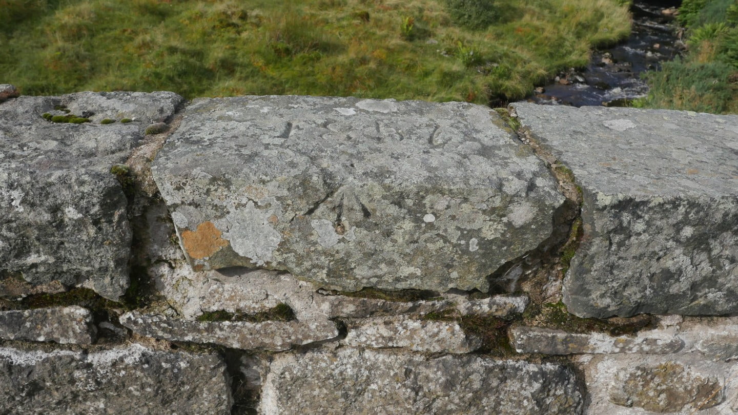
Plans started in 1856, the same year the Glenisla Highland Games were inaugurated and completed the year after. This single segmental arched bridge replaced a wooden bridge which in turn replaced a ford with a steep access track to the south just downstream which led up past the now ruinous double accessed kiln on the north side, from which the area took its name. The bridges stone parapet boasts an upper surface of 981 feet above median sea level from its OS bench mark carved on the roadside vertical face. The Ordnance Survey’s first systematic mapping of Scotland took place at this time.
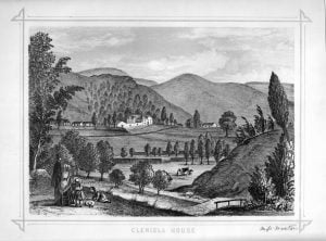
This etching from the first half of the 19th century shows the wooden bridge in the foreground with the backdrop of Glenisla House and West Mill House to the right.


