Have you seen:
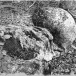
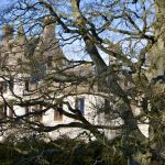
On the south bank of the Isla by Holmiry can be seen “The Gledie Tree”, on the Birkhill path, the only pine in the vicinity, much of the remaining woodland is birk or birch as the path name suggests. It grows through the ruins of the “Glad Stone” farmstead shown on Ainslie’s 1794 map and was still there in 1832 for John Thomson to map. This gnarled old tree has certainly seen more winters than any living man and likely was once a sapling in the farmstead garden. Glenisla boasts two Gledie Stanes, the other is on the OS map at West Mill. The illustration here shows the Gledie stane also the Gledie Tree.
Have you seen:


